Skip to content
Go back
menu
Visit & Explore
Aspiring Cross-Channel UNESCO Global Geopark
Aspiring Cross-Channel UNESCO Global Geopark
Save Aspiring Cross-Channel UNESCO Global Geopark to favourites
GeoAdventures
Save GeoAdventures to favourites
Geosites
Save Geosites to favourites
Cross-Channel Geopark Festival
Save Cross-Channel Geopark Festival to favourites
SALT + EARTH Festival
Save SALT + EARTH Festival to favourites
#UptheKentDowns
#UptheKentDowns
Save #UptheKentDowns to favourites
Top Downs
Save Top Downs to favourites
Settle Downs
Save Settle Downs to favourites
Activities
Walking
Cycling
Horse Riding
View all
activities
Places to Visit
Beaches
Parks & Open Spaces
Woodland
Rivers & Lakes
Outdoor Gyms
View all
places
Experiences & Itineraries
Culture & Heritage
Arts & Crafts
Wellbeing
Food & Drink
Family Fun
Wildlife & Nature
Pilgrimage
Outdoor Activities
Farming & Animals
View all
Experiences and Itineraries
The North Downs Way National Trail
The North Downs Way National Trail
Save The North Downs Way National Trail to favourites
North Downs Way Art Trail
Save North Downs Way Art Trail to favourites
Events
How to get here
Blog
Conserve
What is special about the Kent Downs?
Climate Change and the Kent Downs
New Duty to Seek to Further
Respect, Protect, Enjoy
Volunteering
Tree Planting
Landscape management
Farming in Protected Landscapes
Management guidance and publications
Kent Downs Management Plan Review 2026 – 2031
Management guidance and publications
Management Plan
Landscape Character Assessment 2020
Tree Planting
Natural Flood Management
Viticulture
Planning
Planning overview
Planning protocol
Planning publications
National Planning Policy Framework
Planning and the Management Plan
Boundary Map
Business Resources
Business Resources
Work with us
Find a North Downs Way Ambassador
Education
Education walks for children
Useful teaching materials
How to guides
Activity sheets
Geopark Education Resources
Projects
UNESCO Sites Across the Channel
GeoDiversity
Putting Down Routes
Mapping Heritage Ponds
Protect Our Pollinators – Making Trapping Happen
Farming in Protected Landscapes
Farming in Protected Landscapes
Farming in Protected Landscapes: Indicative Projects
Discover the Darent Valley Landscape Partnership Legacy
North Kent Woods and Downs
National Nature Reserve (NNR)
Undergrounding
The Kent Downs Trust
Past projects
EXPERIENCE
Mid Kent Downs Countryside Partnership
Orchards for Everyone
The Ash Project
Valley of Visions
Green Pilgrimage
About us
What is special about the Kent Downs?
What is a National Landscape?
Who we are
Joint Advisory Committee
National Landscape Partnership
Our partners
The National Landscape team
EU Funding
Boundary Map
Vacancies and Opportunities
Contact us
Donate
Show search
Show favourites
Close menu
Search form
Search website
Get results
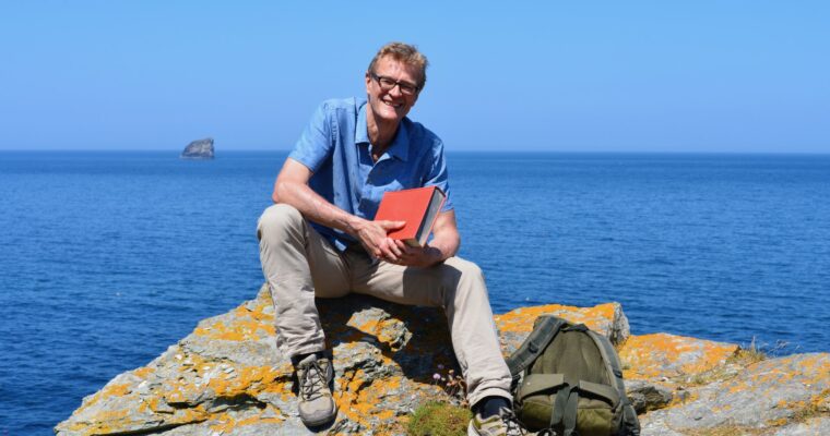
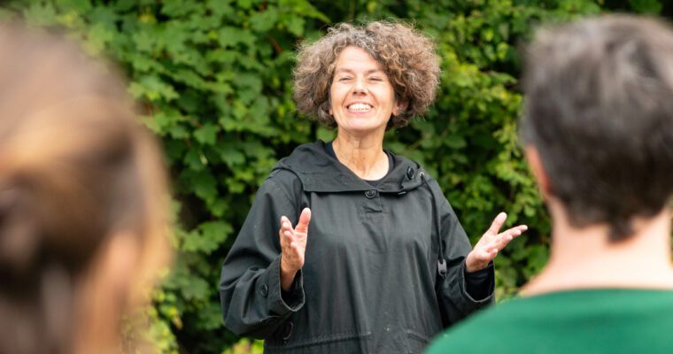
SALT + EARTH Festival: An Audience with Nicholas Crane
3rd August 2023
Get GeoCurious
tags
Salt+Earth
tags
Join Nicholas Crane and Prof Sanjeev Gupta for an evening celebrating the geology of our aspiring UNESCO Cross-Channel Geopark.
SALT + EARTH Festival: Festival Launch
3rd August 2023
Get GeoCurious
tags
Salt+Earth
tags
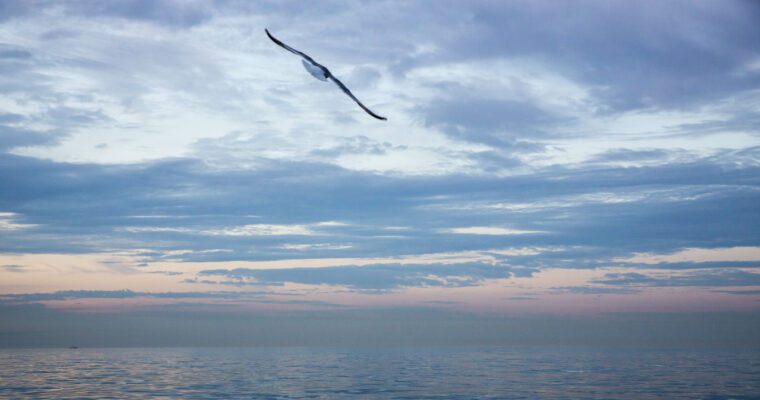
Join us for the launch of SALT + EARTH 2023: Festival of Landscape, Seascape and the Environment.
SALT + EARTH Festival: Seawater Photo Emulsions
1st August 2023
Arts & Crafts
tags
Get GeoCurious
tags
Salt+Earth
tags
Seawater Photo Emulsions : An installation of images created using seawater and silver gelatine handmade photo emulsions.
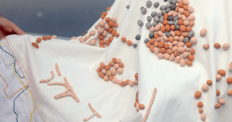
SALT + EARTH Festival: Tactile Mapping (La carte et le Vetement)
1st August 2023
Arts & Crafts
tags
Get GeoCurious
tags
Salt+Earth
tags
Explore the Tactile Mapping (La carte et le Vêtement) exhibition at the Brewery Tap on Tontine Street.
SALT + EARTH Festival: Going Underground
1st August 2023
Arts & Crafts
tags
Get GeoCurious
tags
Salt+Earth
tags
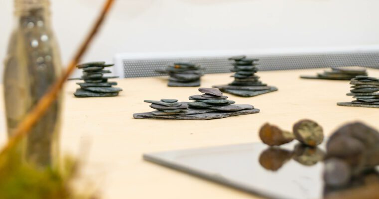
Inspired by dene holes, small ancient chalk mines, scattered across the Kent Downs, view Sara's Trillo's sculptural work at the Brewery Tap.
SALT + EARTH Festival: Magical Curves
1st August 2023
Arts & Crafts
tags
Get GeoCurious
tags
Salt+Earth
tags
Welcome to the Magical Curves Exhibition! Immerse yourself in the art and narratives that celebrate our profound and sensitive connection with the natural world.
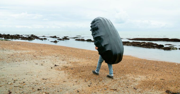
SALT + EARTH Festival: Chalk Coracle II
1st August 2023
Arts & Crafts
tags
Get GeoCurious
tags
Outdoor Activities
tags
Salt+Earth
tags
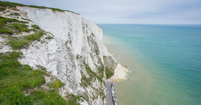
Walk through the chalk cliffs and down through time on this audio walk by artist, Alison Neighbour.
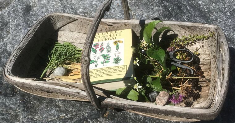
Forager’s Food and Pharmacy Guided Walk
27th July 2023
Food & Drink
tags
Get GeoCurious
tags
Outdoor Activities
tags
Wildlife & Nature
tags
Learn about the uses and medical properties of plants on this White Cliffs Countryside Partnership walk in the biodiverse chalk grassland of Western Heights.
Geo-adventures: Geo-Futurists
25th July 2023
Get GeoCurious
tags
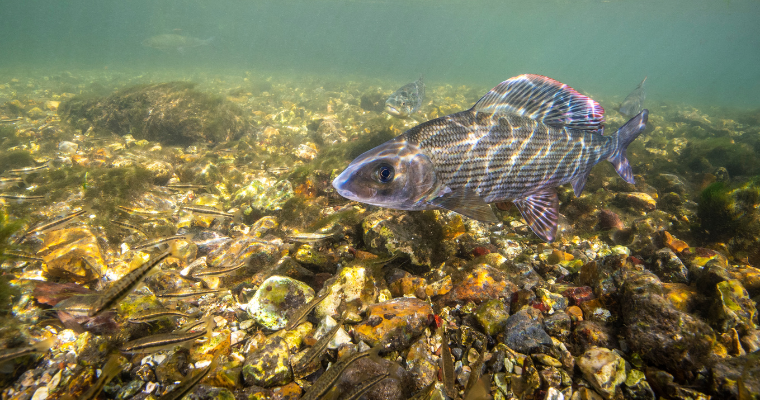
Discover one of the world's rarest habitats, the chalk stream, at our final Geo-Adventures summer workshop.
Geo-adventures: Budding Botanists
25th July 2023
Get GeoCurious
tags
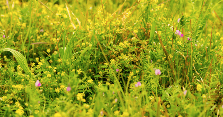
Head up onto the Folkestone Downs to improve your botany skills and add to your Geopark Journal at our second Geo-Adventures summer workshop.
Geo-adventures: Create your very own Geopark Journal
25th July 2023
Get GeoCurious
tags
Come along to Cheriton Library and make and decorate your very own Geopark Journal at our first Geo-Adventures summer workshop.
Wye National Nature Reserve and the Devil’s Kneading Trough guided walk
14th March 2023
Get GeoCurious
tags
Outdoor Activities
tags
Learn about the wildlife, geology and geomorphology of this stunning reserve.
1
2
3
You're on page
4
5
Back to top