The map below shows the boundary of the Kent Downs National Landscape, the North Downs Way National Trail and the Heritage Coasts.
You can use the search function to search by postcode or town, you can also zoom in for a more detailed view. Clicking the home icon will reset the view.
Click ‘view larger map’ to see a full screen version. If you require this information in another format for accessibility reasons, please contact us.
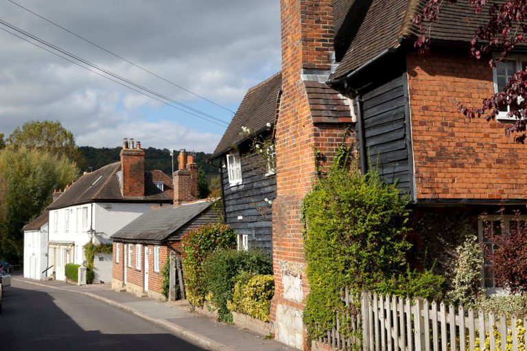
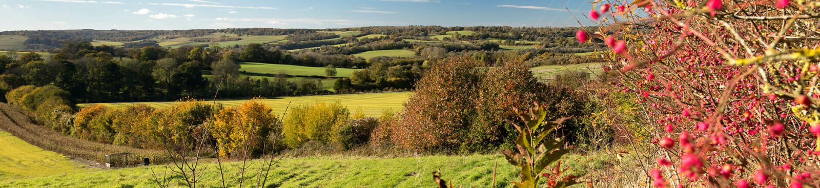
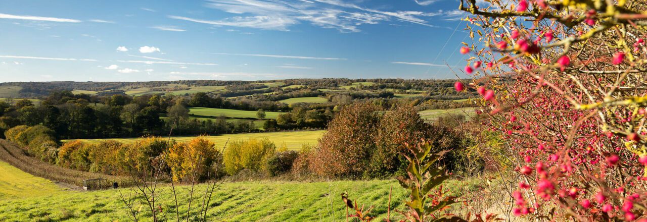
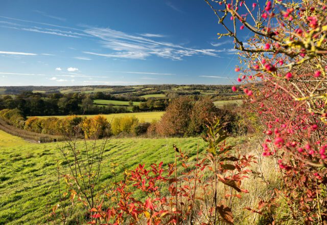
If you’d like to visit or explore the Kent Downs, please use our interactive map with ideas for walks, cycles, and days out.