Skip to content
Go back
menu
Visit & Explore
Aspiring Cross-Channel UNESCO Global Geopark
Aspiring Cross-Channel UNESCO Global Geopark
Save Aspiring Cross-Channel UNESCO Global Geopark to favourites
GeoAdventures
Save GeoAdventures to favourites
Geosites
Save Geosites to favourites
Cross-Channel Geopark Festival
Save Cross-Channel Geopark Festival to favourites
SALT + EARTH Festival
Save SALT + EARTH Festival to favourites
Activities
Walking
Cycling
Horse Riding
View all
activities
Places to Visit
Beaches
Parks & Open Spaces
Woodland
Rivers & Lakes
Outdoor Gyms
View all
places
Experiences & Itineraries
Culture & Heritage
Arts & Crafts
Wellbeing
Food & Drink
Family Fun
Wildlife & Nature
Pilgrimage
Outdoor Activities
Farming & Animals
View all
Experiences and Itineraries
Events
The North Downs Way National Trail
The North Downs Way National Trail
Save The North Downs Way National Trail to favourites
North Downs Way Rail Trails
Save North Downs Way Rail Trails to favourites
North Downs Way Art Trail
Save North Downs Way Art Trail to favourites
How to get here
Respect, Protect, Enjoy
Save Respect, Protect, Enjoy to favourites
News & Blogs
Landscape management
Landscape management
Farming in Protected Landscapes
Management guidance and publications
Kent Downs Management Plan Review 2026 – 2031
Management guidance and publications
Management Plan
Landscape Character Assessment 2020
Tree Planting
Natural Flood Management
Viticulture in the Kent Downs
Climate Change and the Kent Downs
Planning
Planning overview
Planning protocol
Planning publications
National Planning Policy Framework
Planning and the Management Plan
Boundary Map
New Duty to Seek to Further
Projects
Funding and Grants
Projects
UNESCO Sites Across the Channel
GeoDiversity
Putting Down Routes
Mapping Heritage Ponds
Protect Our Pollinators – Making Trapping Happen
Hidden Hollows Project
Farming in Protected Landscapes
Farming in Protected Landscapes: Indicative Projects
Discover the Darent Valley Landscape Partnership Legacy
North Kent Woods and Downs National Nature Reserve (NNR)
Undergrounding
The Kent Downs Trust
Past projects
EXPERIENCE
Mid Kent Downs Countryside Partnership
Orchards for Everyone
The Ash Project
Valley of Visions
Green Pilgrimage
#UptheKentDowns
Resources
Business Resources
Work with us
Find a North Downs Way Ambassador
Education Resources
Education walks for children
Useful teaching materials
How to guides
Activity sheets
Geopark Education Resources
About us
About us
What is special about the Kent Downs?
What is a National Landscape?
Who we are
Joint Advisory Committee
National Landscape Partnership
Our partners
The National Landscape team
EU Funding
Boundary Map
Vacancies and Opportunities
Contact us
Volunteering
Donate
Show search
Show favourites
Close menu
Search form
Search website
Get results
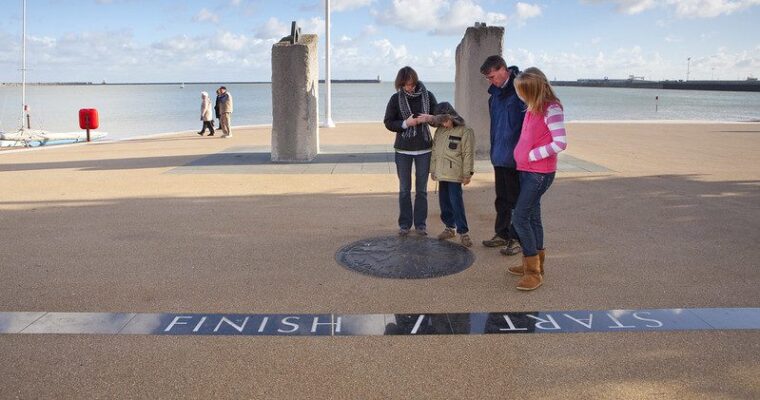
The Alternative Via Francigena Shepherdswell to Dover – North Downs Way Rail Trail
29th June 2026
Explore an alternative route into Dover from Waldershare Park.
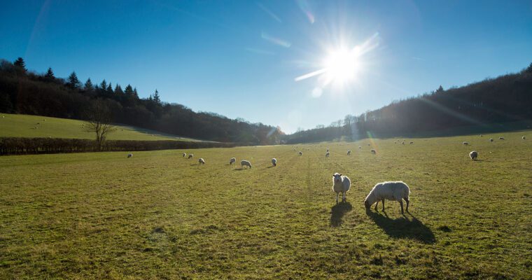
A Classic Kent Landscape
23rd June 2023
Part of the Linking Coast to Downs series, this circular walk explores the historic villages, orchards and arable land of Swale.
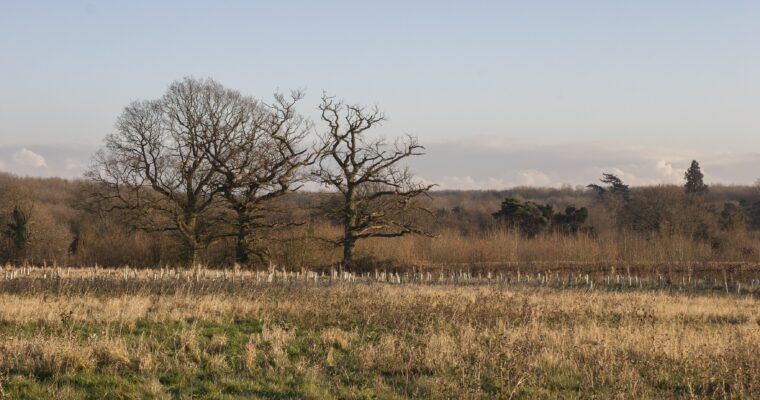
Ancient Woodland and Waters
23rd June 2023
Part of the Linking Coast to Downs series, walk from Milton Creek to the Hucking Estate, near Hollingbourne.
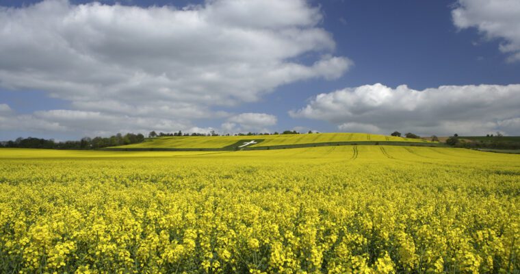
A Tapestry of History and Wildlife
23rd June 2023
Part of the Linking Coast to Downs series, walk from Conyer to Lenham through the Kent Downs National Landscape.
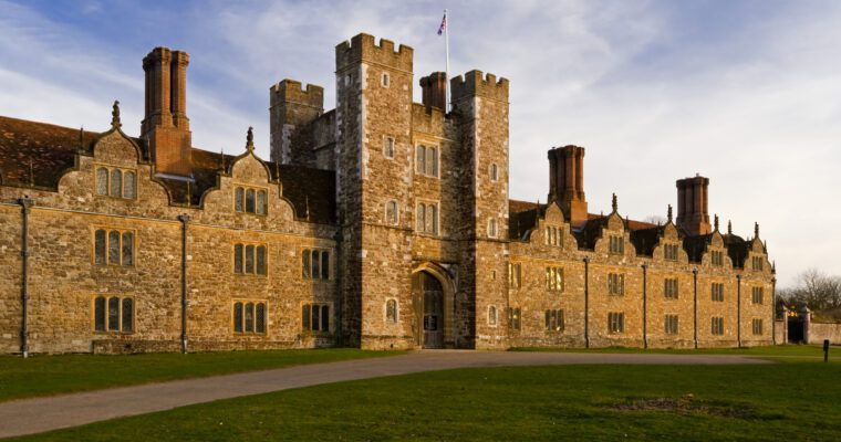
Explore Sevenoaks
6th December 2022
Explore Sevenoaks which holds some of England’s most enchanting places, such as stunning stately homes and beautiful gardens, as well as the picturesque landscapes of…
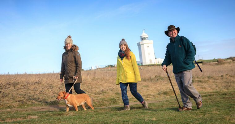
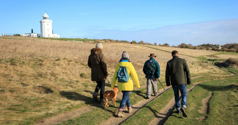
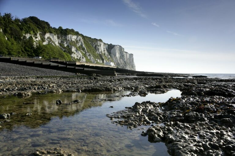
South Foreland Lighthouse walk
20th January 2022
Discover the White Cliffs of Dover, the most iconic symbol of our county, along this refreshing walk overlooking the English Channel - one of the…
Hythe to Folkestone Walk: Art and Nostalgia
27th February 2020
This walk from Hythe to Folkestone gives you the best opportunities to appreciate the stunning artwork which is displayed at Folkestone Harbour as well as…
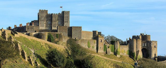
Folkestone to Dover: Two Harbours Walk
27th February 2020
This walk is full of incredible clifftop views across the channel and glimpses into history from the Western Heights to Dover Castle.
King Charles III England Coast Path – Kent
23rd May 2017
Roaming from the sandy beaches of Camber through to the white cliffs at Ramsgate the first stretch of the King Charles III England Coast Path…
St Margarets Bay walk – guarding the gateway
17th February 2015
This 4.7 mile King Charles III England Coastal Path circular walk, much of it along quiet roads where the going is very easy, is dotted…
Back to top