
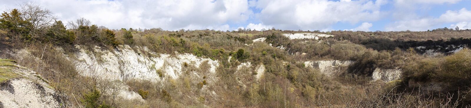
Beneath the rolling hills of the Kent Downs lies a remarkable story waiting to be uncovered. Historic chalk pits and former industrial quarries have left their mark on the landscape, revealing how it has been shaped over millions of years.
From a tiny chalk pit on the edge of a farmer’s field to enormous former quarries that provided building materials for London, these hidden places all have a story to tell. Through the Hidden Hollows Project, you can help us uncover those stories, learn more about the landscape around you and discover the geology beneath your feet.
Help us uncover the hidden stories of the Kent Downs
Historic pits and quarries are part of the landscape around us, but many of their stories remain untold. You can help us discover, record and celebrate these hidden places. We’re looking for volunteers, local knowledge and memories to help uncover the stories they hold.
You can get involved by joining our volunteer programme, sharing photographs and memories of local quarries, and taking part in project events and activities.
Contact us: geopark@kentdowns.org.uk
Every landscape has a story
The Kent Downs is a landscape shaped by deep time and human hands. Beneath its familiar hills, woodlands and villages are traces of the forces that created this landscape and the people who have used its resources for generations.
Scattered across the Kent Downs are an estimated 1,500 historic pits and quarries, many of which remain unrecorded. Some are still visible, while others have almost disappeared beneath woodland, farmland or scrub. You may walk past them every day without realising they’re there.
For centuries, these sites provided stone, clay and other materials used to build homes, churches, roads and villages across Kent and beyond. Chalk was also an essential construction material, used as a key ingredient in lime mortar and cement. Some reveal rock layers formed millions of years ago, preserving evidence of ancient tropical seas and extraordinary fossils. Others have become peaceful refuges for wildlife, supporting rare plants, insects and birds.
Through the Hidden Hollows Project, we’re bringing these forgotten places back into the story of the Kent Downs – and inviting you to help us uncover the stories they hold.
Why pits and quarries matter
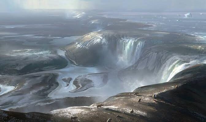
1. They reveal the story of our landscape
The rocks beneath the Kent Downs were formed over millions of years and help explain why our landscape looks the way it does today.
Historic pits and quarries expose these rock layers, offering valuable opportunities to study geology that is often hidden elsewhere in the landscape. Some have produced fossils now held in museum collections, helping scientists understand the ancient environments that once existed here. Some discoveries form part of internationally significant fossil collections.
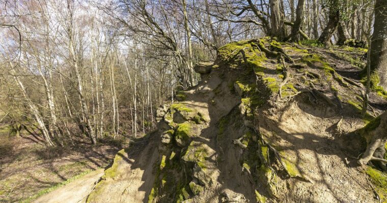
2. They connect us with our heritage
For generations, local communities quarried stone and other materials using changing methods and technologies to build homes, churches, farm buildings and roads. Chalk was also an essential material for construction, used as a key ingredient in lime mortar and cement. Many smaller Chalk pits (and deneholes) served the farm fields immediately around them with a supply of fertiliser that neutralised acidic clay soils. The practice of ‘chalking’ dates back over a thousand years.
Many of these places were once important centres of local industry and employment. They shaped settlements, influenced farming practices and became familiar landmarks within the landscape.
Today, they remain an important part of the Kent Downs’ cultural heritage, even if many have faded from view.
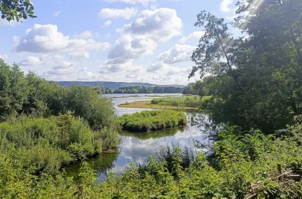
3. They’re valuable for wildlife
Nature has reclaimed many former pits and quarries.
Across the Kent Downs, former chalk pits and quarries provide important habitats for species such as chalkhill blue and adonis blue butterflies, early spider orchids and other chalk grassland specialists. Exposed rock, thin soils and sheltered slopes create habitats for specialist species that are now much less common.
Former extraction sites provide excellent opportunities to study the layers of sedimentary rocks such as Chalk. By uncovering these hidden sites, we can contribute to a better understanding of the geology of our region. And by understanding these places better, we can identify opportunities to protect and enhance both their geological and ecological value.
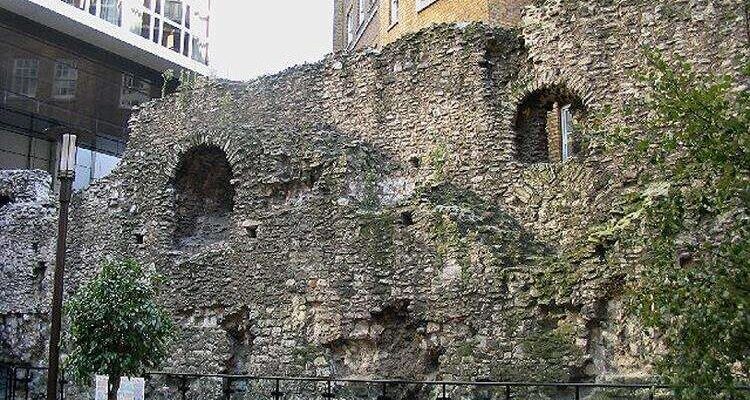
4. They’re full of stories waiting to be discovered
For generations, historic pits and quarries have been part of life in the Kent Downs.
They provided materials for local buildings, supported industries, and became landmarks known by the people who lived nearby. Some have faded from view, but their stories remain in old maps, photographs and memories shared by local communities.
As part of this project, we’ll work with people across the Kent Downs to collect and celebrate these connections between landscape and lived experience.
What we're doing
Over the next three years, we’ll work with communities, volunteers and specialist partners to create a definitive record of historic pits and quarries within the Kent Downs.
The project will:
- Identify and map historic pits and quarries across the Kent Downs.
- Record their history, geology, condition and biodiversity.
- Train volunteers in geological and heritage recording techniques.
- Explore which sites have the greatest potential for future conservation, education and community engagement.
- Investigate how these places connect geology, archaeology, biodiversity and cultural heritage.
- Gather local memories, photographs and stories connected to historic quarries.
- Deliver events, workshops and activities that help people discover the fascinating stories beneath their feet.
By combining scientific research with community knowledge, we’ll build a lasting record supporting future conservation and helping more people connect with the landscape around them.
Become a Hidden Hollows volunteer
Want to get involved? You don’t need to be a geologist or archaeologist to take part.
We’ll recruit and train a team of volunteers who will play a key role in discovering and recording the Kent Downs’ hidden geological heritage.
As a volunteer, you’ll learn how to:
- identify former pits and quarries using historic maps and the Kent LiDAR Portal
- understand the geology beneath the landscape
- record archaeological and heritage features and recognise important habitats
- contribute valuable information to the Kent Historic Environment Record.
No previous experience is needed – just curiosity and a passion for uncovering the history of the Kent Downs.
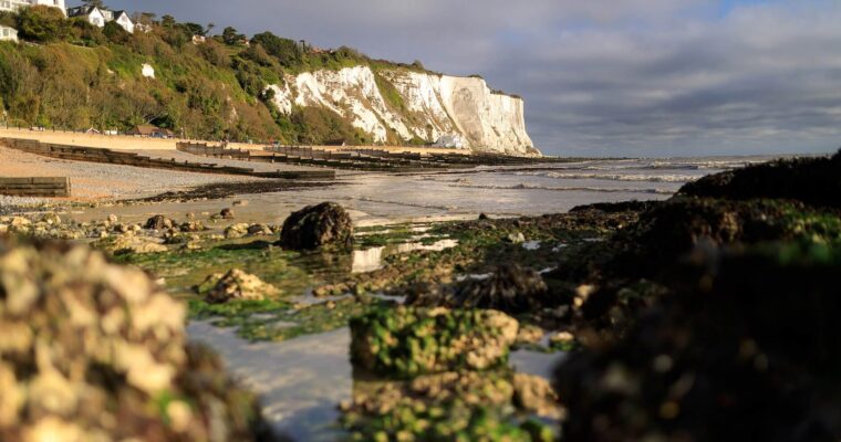
Looking beneath the surface
The rocks beneath our feet have influenced where people settled, what they built, how they farmed the land, and even the wildlife that lives here today. By understanding these connections, we can tell richer stories about the Kent Downs – and help you discover how geology, archaeology, biodiversity and local culture are all connected.
This approach reflects the values of the aspiring Cross-Channel UNESCO Global Geopark, where geology becomes the starting point for understanding the wider landscape and the communities that call it home. As the Geopark boundary extends beyond the Kent Downs National Landscape, the urban areas of Sevenoaks, Folkestone & Dover, and the Medway valley, are all included in the scope of this project.
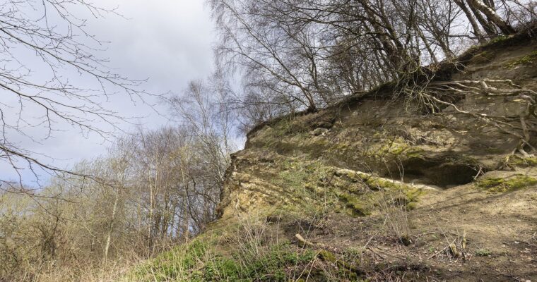
Do you have a story to share?
Historic pits and quarries were once familiar parts of everyday life across the Kent Downs.
Do you remember visiting one as a child, working nearby, or watching it change over the years? Perhaps you have an old photograph, a family memory or local knowledge that could help us understand how these places were used and remembered.
We’d love to hear from you. Your memories and images could help us build a richer picture of the role these places have played in the landscape. These contributions will form part of a digital and in-person exhibition exploring the connections between people, geology and the Kent Downs.
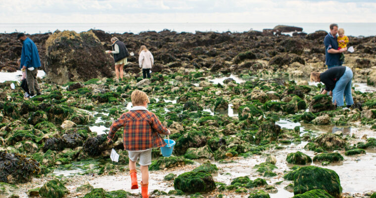
Protecting places for the future
The information gathered through this project will provide a foundation for future conservation, research, education and community projects.
It will help identify sites with potential for geological research, biodiversity enhancement and heritage conservation, as well as educational visits, interpretation and storytelling, community volunteering and future restoration projects.
Some may even become important ‘Geosites’ where visitors can discover the story of the aspiring Cross-Channel UNESCO Global Geopark. By helping us understand these sites today, you can play a part in protecting them for generations to come.
Get involved
There are plenty of ways for you to get involved as the project develops.
Whether you’d like to volunteer, learn new skills, share a story from your local area or simply discover more about the hidden geology of the Kent Downs, we’d love to hear from you.
You can:
- Join our volunteer programme.
- Share photographs and memories of local quarries.
- Take part in project events and activities.
- Follow project updates and discoveries.
- Get in touch to find out more.
Did you know
Kent was once covered by a warm tropical sea
The chalk landscapes we see today were formed over millions of years beneath a shallow sea filled with marine life.
Fossils from Kent Downs are held in museum collections
Historic pits and quarries across the Kent Downs have revealed fossils from the seas that once covered this landscape. Sites such as Culand Pits near Burham are of national and international significance because of the fossils recovered there, with many specimens now held in museum collections, including the Natural History Museum.
Old quarries can become wildlife hotspots
Abandoned quarries can develop a rich variety of habitats, supporting wildflowers, butterflies, reptiles and birds. Across the Kent Downs, exposed rock, thin soils and varied landscapes create important conditions for specialist species and contribute to nature recovery. Sevenoaks Wildlife Reserve, a Geopark Geosite, is an example of a former gravel pit transformed into a thriving wildlife haven.
Partners and funding
The Hidden Hollows Project is delivered by the Kent Downs National Landscape in partnership with Kent County Council’s Historic Environment Record (HER) and supported by specialist geological, archaeological, biodiversity and community partners.
The Hidden Hollows Project is funded through Defra’s Farming in Protected Landscapes programme. Through this funding, we’re helping uncover and celebrate the geological and cultural heritage that makes the Kent Downs such a special place.