A Tapestry of History and Wildlife
This challenging walk links two of the UK's National Trails: the King Charles III England Coast Path and the North Downs Way.
Linking Coast to Downs Route 2
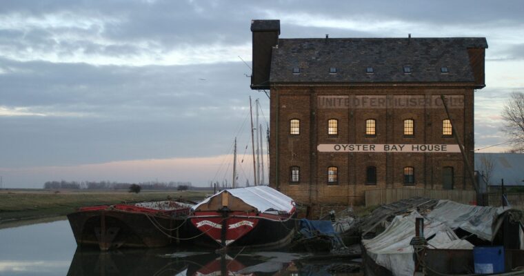
Conyer
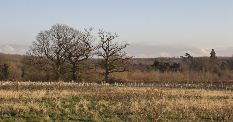
This small, unique, coastal hamlet has lots of character. From the northern end of this route, you can take a short circular walk around the creek and enjoy views along the atmospheric waters of The Swale to the Isle of Sheppey. You can admire the native saltmarsh that lines the creek and spot many species of wading birds, such as redshank and oystercatcher. Between here and the larger village of Teynham, the landscape becomes open grazing marsh, with shelter belts of alder and poplar.
Teynham
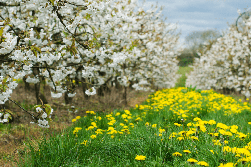
There are several shops and pubs here, should you need to stock up on supplies. Did you know the landscape of the parish of Teynham was once home to the very first fruit orchard in England, planted by Sir Richard Harris, the Royal Fruiterer to King Henry VIII? Nowadays, there are still orchards, many of much smaller, more modern varieties of fruit.
Lynsted
This beautiful, historic village is full of character, with the church of St Peter and St Paul and The Black Lion pub at its heart. Just out of the village to the south is the Park Farm Community Cherry Orchard, full of majestic old cherry trees of many varieties.
Sharsted Court and Doddington Place
Moving from grand estate to grand estate, the route crosses the majestic woodlands of both Sharsted Court and Doddington Place. Doddington Places dates back to the 1860s, becoming a landmark with wonderful gardens and tea rooms. To the south, the grounds give way to the church and churchyard, which is managed for wildlife by local people, with an array of summer wildflowers, including pyramidal orchids.
Doddington
This charming village lies protected in a steep-sided dry valley typical of the Kent Downs National Landscape. With amazing heritage buildings and The Chequers Inn, it is well worth a visit. The route then takes you deeper into the countryside, traversing ancient woodland, arable farmland and eventually emerging into a tranquil chalk grassland valley.
The North Downs Way above Lenham
At the far end of the route, you are rewarded with views along the scarp slope of the downs, a valley known as ‘The Hollingbourne Vale’. Beyond Lenham to the south, you can see the Greensand Ridge, and further still, on a clear day you can see as far as Dungeness Power Station and the hills of the Sussex coast.
Linking Coast to Downs
The Linking Coast to Downs series of walks and rides has been developed to promote access between the atmospheric coast of Swale and the rolling hills of the Kent Downs National Landscape.