Skip to content
Go back
menu
Visit & Explore
Aspiring Cross-Channel UNESCO Global Geopark
Aspiring Cross-Channel UNESCO Global Geopark
Save Aspiring Cross-Channel UNESCO Global Geopark to favourites
GeoAdventures
Save GeoAdventures to favourites
Geosites
Save Geosites to favourites
Cross-Channel Geopark Festival
Save Cross-Channel Geopark Festival to favourites
SALT + EARTH Festival
Save SALT + EARTH Festival to favourites
#UptheKentDowns
#UptheKentDowns
Save #UptheKentDowns to favourites
Top Downs
Save Top Downs to favourites
Settle Downs
Save Settle Downs to favourites
Activities
Walking
Cycling
Horse Riding
View all
activities
Places to Visit
Beaches
Parks & Open Spaces
Woodland
Rivers & Lakes
Outdoor Gyms
View all
places
Experiences & Itineraries
Culture & Heritage
Arts & Crafts
Wellbeing
Food & Drink
Family Fun
Wildlife & Nature
Pilgrimage
Outdoor Activities
Farming & Animals
View all
Experiences and Itineraries
The North Downs Way National Trail
The North Downs Way National Trail
Save The North Downs Way National Trail to favourites
North Downs Way Art Trail
Save North Downs Way Art Trail to favourites
Events
How to get here
Blog
Conserve
What is special about the Kent Downs?
Climate Change and the Kent Downs
New Duty to Seek to Further
Respect, Protect, Enjoy
Volunteering
Tree Planting
Landscape management
Farming in Protected Landscapes
Management guidance and publications
Kent Downs Management Plan Review 2026 – 2031
Management guidance and publications
Management Plan
Landscape Character Assessment 2020
Tree Planting
Natural Flood Management
Viticulture
Planning
Planning overview
Planning protocol
Planning publications
National Planning Policy Framework
Planning and the Management Plan
Boundary Map
Business Resources
Business Resources
Work with us
Find a North Downs Way Ambassador
Education
Education walks for children
Useful teaching materials
How to guides
Activity sheets
Geopark Education Resources
Projects
UNESCO Sites Across the Channel
GeoDiversity
Putting Down Routes
Mapping Heritage Ponds
Protect Our Pollinators – Making Trapping Happen
Farming in Protected Landscapes
Farming in Protected Landscapes
Farming in Protected Landscapes: Indicative Projects
Discover the Darent Valley Landscape Partnership Legacy
North Kent Woods and Downs
National Nature Reserve (NNR)
Undergrounding
The Kent Downs Trust
Past projects
EXPERIENCE
Mid Kent Downs Countryside Partnership
Orchards for Everyone
The Ash Project
Valley of Visions
Green Pilgrimage
About us
What is special about the Kent Downs?
What is a National Landscape?
Who we are
Joint Advisory Committee
National Landscape Partnership
Our partners
The National Landscape team
EU Funding
Boundary Map
Vacancies and Opportunities
Contact us
Donate
Show search
Show favourites
Close menu
Search form
Search website
Get results
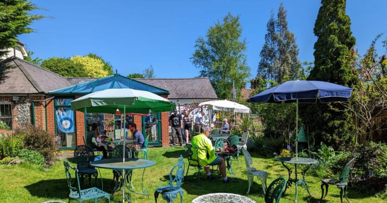
Shoreham Aircraft Museum
2nd July 2025
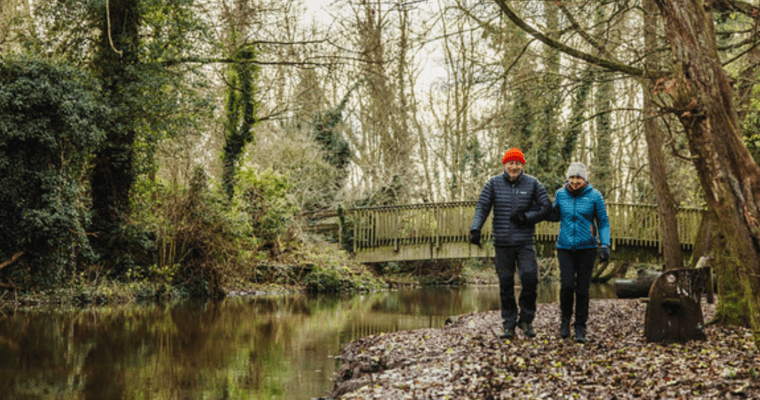
The River Darent
27th March 2024
There are only around 200 chalk streams in the world, so the Darent is an extremely unique and rare!
‘Coccolith’ By INSTAR
2nd March 2023
Take a seat and immerse in this rolling and quintessential landscape. The perfect spot to take the weight off and absorb the valley and ‘Inspiring…
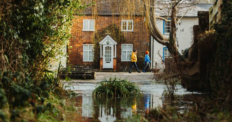
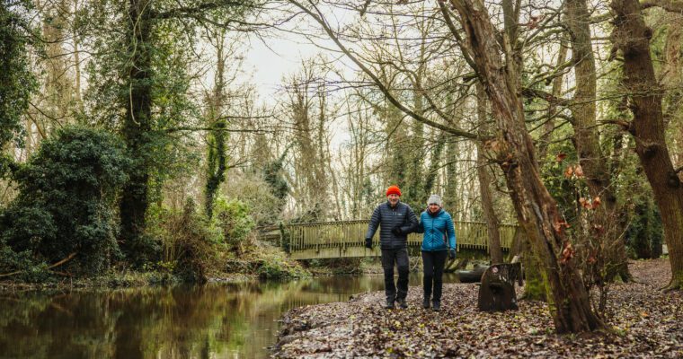
Darent Valley Path
20th February 2023
The beauty of the Darent Valley has inspired generations of artists and writers eager to capture the essence of this classic English countryside with its…
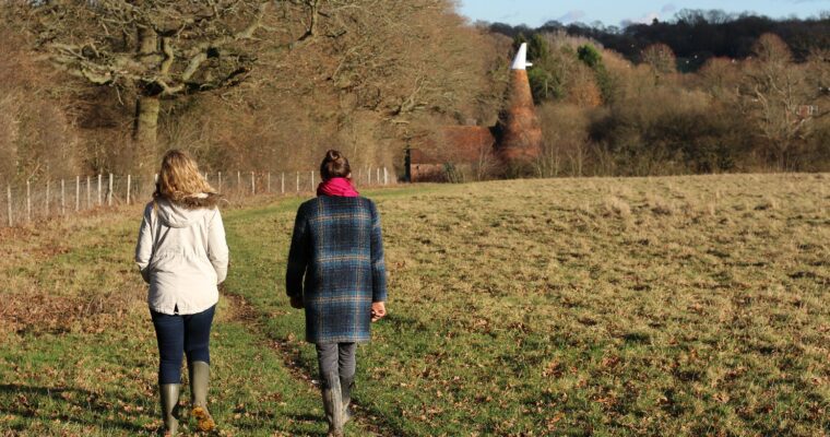
Bore Place to Bough Beech Reservoir
20th January 2022
See year round bird and plant life on this walk that winds its way to Bough Beech Nature Reserve from the beautiful setting of Bore…
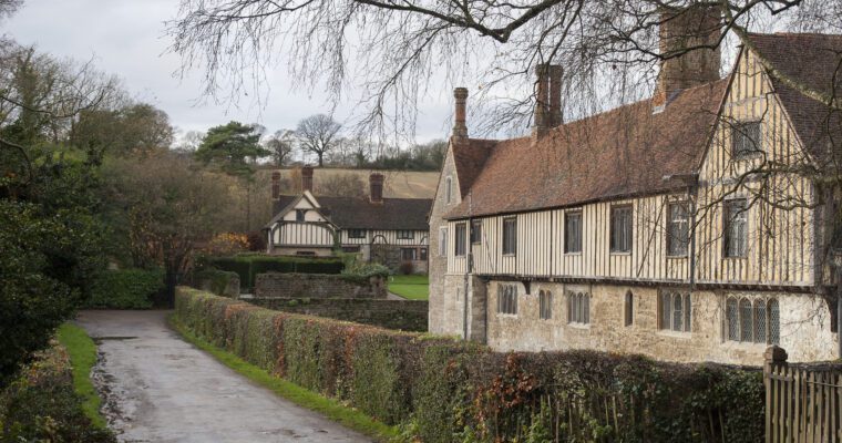
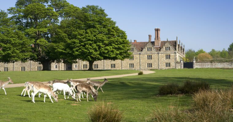
Ightham Mote
20th January 2022
There are a some truly beautiful country walks to be enjoyed on the grounds of Ightham Mote, a 700-year-old Grade I listed National Trust property.…
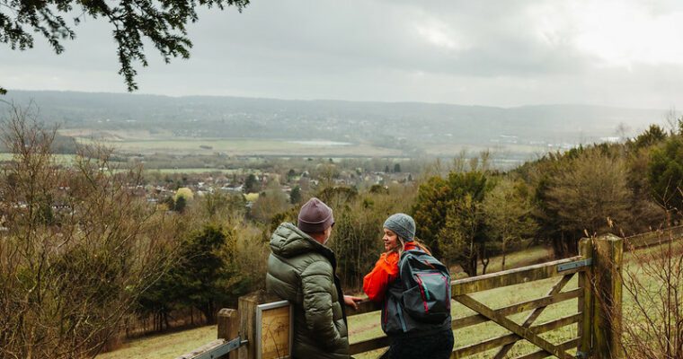
Kemsing walk
20th January 2022
This challenging 6.5 mile route passes through the beautiful village of Kemsing and offers walkers magnificent views across the Weald of Kent.
Lullingstone Country Park walk
20th January 2022
Dramatic views and history abound on this walk around Lullingstone Country Park to the village of Shoreham and along the Darent Valley path.
Greensand Way
3rd March 2015
Stride out along 108 miles of the Greensand Way and discover some of the finest walking experiences in the South East.
Knole Stile Free Trail
17th February 2015
A walk of 3 miles (4.8km). Paths continually climb and descend throughout the walk. Admission to park is free. Parking charges apply. Opening times 10.30am…
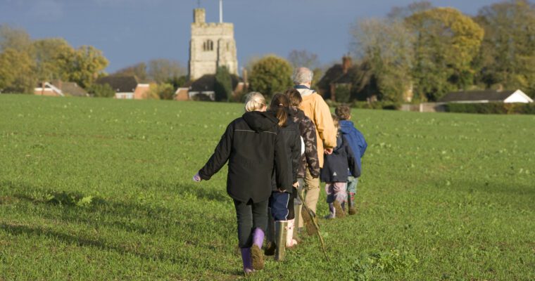
Shipbourne Walk
17th February 2015
Enjoy classic views of the Weald of Kent on this varied and peaceful walk through charming woodland and gentle field paths following part of the…
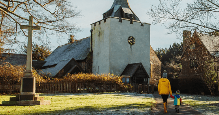
Otford walk – landscapes and romance
17th February 2015
This peaceful and refreshing 5 mile walk starts by the river in the picturesque village of Otford and then climbs high above the valley to…
You're on page
1
2
Back to top