Skip to content
Go back
menu
Visit & Explore
Aspiring Cross-Channel UNESCO Global Geopark
Aspiring Cross-Channel UNESCO Global Geopark
Save Aspiring Cross-Channel UNESCO Global Geopark to favourites
GeoAdventures
Save GeoAdventures to favourites
Geosites
Save Geosites to favourites
Cross-Channel Geopark Festival
Save Cross-Channel Geopark Festival to favourites
SALT + EARTH Festival
Save SALT + EARTH Festival to favourites
#UptheKentDowns
#UptheKentDowns
Save #UptheKentDowns to favourites
Top Downs
Save Top Downs to favourites
Settle Downs
Save Settle Downs to favourites
Activities
Walking
Cycling
Horse Riding
View all
activities
Places to Visit
Beaches
Parks & Open Spaces
Woodland
Rivers & Lakes
Outdoor Gyms
View all
places
Experiences & Itineraries
Culture & Heritage
Arts & Crafts
Wellbeing
Food & Drink
Family Fun
Wildlife & Nature
Pilgrimage
Outdoor Activities
Farming & Animals
View all
Experiences and Itineraries
The North Downs Way National Trail
The North Downs Way National Trail
Save The North Downs Way National Trail to favourites
North Downs Way Art Trail
Save North Downs Way Art Trail to favourites
Events
How to get here
Blog
Conserve
What is special about the Kent Downs?
Climate Change and the Kent Downs
New Duty to Seek to Further
Respect, Protect, Enjoy
Volunteering
Tree Planting
Landscape management
Farming in Protected Landscapes
Management guidance and publications
Kent Downs Management Plan Review 2026 – 2031
Management guidance and publications
Management Plan
Landscape Character Assessment 2020
Tree Planting
Natural Flood Management
Viticulture in the Kent Downs
Planning
Planning overview
Planning protocol
Planning publications
National Planning Policy Framework
Planning and the Management Plan
Boundary Map
Business Resources
Business Resources
Work with us
Find a North Downs Way Ambassador
Education
Education walks for children
Useful teaching materials
How to guides
Activity sheets
Geopark Education Resources
Projects
UNESCO Sites Across the Channel
GeoDiversity
Putting Down Routes
Mapping Heritage Ponds
Protect Our Pollinators – Making Trapping Happen
Farming in Protected Landscapes
Farming in Protected Landscapes
Farming in Protected Landscapes: Indicative Projects
Discover the Darent Valley Landscape Partnership Legacy
North Kent Woods and Downs
National Nature Reserve (NNR)
Undergrounding
The Kent Downs Trust
Past projects
EXPERIENCE
Mid Kent Downs Countryside Partnership
Orchards for Everyone
The Ash Project
Valley of Visions
Green Pilgrimage
About us
What is special about the Kent Downs?
What is a National Landscape?
Who we are
Joint Advisory Committee
National Landscape Partnership
Our partners
The National Landscape team
EU Funding
Boundary Map
Vacancies and Opportunities
Contact us
Donate
Show search
Show favourites
Close menu
Search form
Search website
Get results
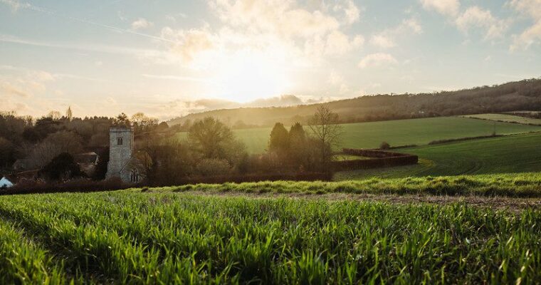
Our 2025 Highlights
12th December 2025
News
tags
We're sharing our top 10 highlights for 2025, including mapping ponds, new ambassadors, and launching new projects.
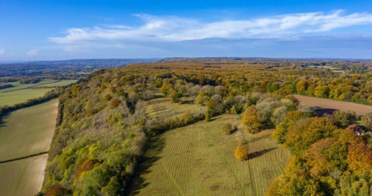
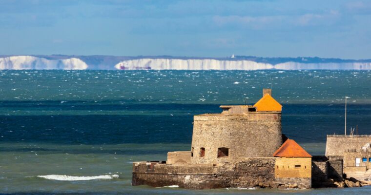
Landscape connected by the sea bid for UNESCO Global Geopark status
28th November 2025
News
tags
A stretch of coastline and countryside linking southern England and northern France could become the first-of-its-kind UNESCO Global Geopark to span the sea.
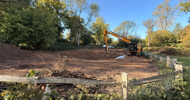
Heritage Ponds Project: Digging into the past, restoring for the future
18th November 2025
Heritage
tags
News
tags
Wildlife & Nature
tags
Discover how the Kent Downs’ historic ponds are being brought back to life! From uncovering centuries of hidden history in pond silt to restoring a…
Our 2024 Highlights
13th December 2024
News
tags
We're sharing our top 10 highlights for 2024, including mapping ponds, new ambassadors, and launching new projects.
Unearthing Kent’s Hidden Ponds…
27th August 2024
Culture & Heritage
tags
News
tags
Wildlife & Nature
tags
Exciting progress in the Kent Downs Heritage Ponds Project with over 350 historic ponds mapped so far. Discover how we're reviving Kent’s hidden aquatic treasures.
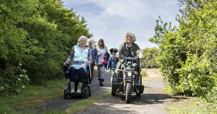
Introducing Putting Down Routes
29th January 2024
News
tags
Our new Putting Down Routes project aims to improve physical access and equality, diversity and inclusion along the North Downs Way National Trail to make…
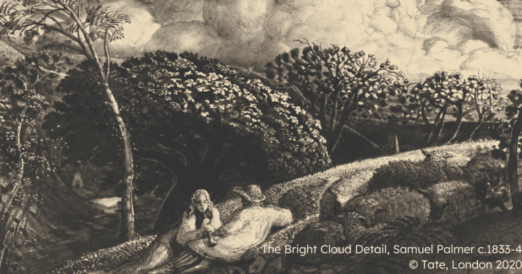
Samuel Palmer: Visionary Landscapes Exhibition
8th January 2024
Arts & Crafts
tags
News
tags
Samuel Palmer Visionary Landscapes
tags
Samuel Palmer: Visionary Landscapes is a new touring art exhibition showcasing the Victorian landscape painter's finest work, alongside the creations of local artists inspired by…
Our 2023 Highlights
18th December 2023
News
tags
We're sharing our top 10 highlights for 2023, including hedgerow planting, path improvements, and archaeological excavation.
Back to top