Skip to content
Go back
menu
Visit & Explore
Aspiring Cross-Channel UNESCO Global Geopark
Aspiring Cross-Channel UNESCO Global Geopark
Save Aspiring Cross-Channel UNESCO Global Geopark to favourites
GeoAdventures
Save GeoAdventures to favourites
Geosites
Save Geosites to favourites
Cross-Channel Geopark Festival
Save Cross-Channel Geopark Festival to favourites
SALT + EARTH Festival
Save SALT + EARTH Festival to favourites
#UptheKentDowns
#UptheKentDowns
Save #UptheKentDowns to favourites
Top Downs
Save Top Downs to favourites
Settle Downs
Save Settle Downs to favourites
Activities
Walking
Cycling
Horse Riding
View all
activities
Places to Visit
Beaches
Parks & Open Spaces
Woodland
Rivers & Lakes
Outdoor Gyms
View all
places
Experiences & Itineraries
Culture & Heritage
Arts & Crafts
Wellbeing
Food & Drink
Family Fun
Wildlife & Nature
Pilgrimage
Outdoor Activities
Farming & Animals
View all
Experiences and Itineraries
The North Downs Way National Trail
The North Downs Way National Trail
Save The North Downs Way National Trail to favourites
North Downs Way Art Trail
Save North Downs Way Art Trail to favourites
Events
How to get here
Blog
Conserve
What is special about the Kent Downs?
Climate Change and the Kent Downs
New Duty to Seek to Further
Respect, Protect, Enjoy
Volunteering
Tree Planting
Landscape management
Farming in Protected Landscapes
Management guidance and publications
Kent Downs Management Plan Review 2026 – 2031
Management guidance and publications
Management Plan
Landscape Character Assessment 2020
Tree Planting
Natural Flood Management
Viticulture in the Kent Downs
Planning
Planning overview
Planning protocol
Planning publications
National Planning Policy Framework
Planning and the Management Plan
Boundary Map
Business Resources
Business Resources
Work with us
Find a North Downs Way Ambassador
Education
Education walks for children
Useful teaching materials
How to guides
Activity sheets
Geopark Education Resources
Projects
UNESCO Sites Across the Channel
GeoDiversity
Putting Down Routes
Mapping Heritage Ponds
Protect Our Pollinators – Making Trapping Happen
Farming in Protected Landscapes
Farming in Protected Landscapes
Farming in Protected Landscapes: Indicative Projects
Discover the Darent Valley Landscape Partnership Legacy
North Kent Woods and Downs
National Nature Reserve (NNR)
Undergrounding
The Kent Downs Trust
Past projects
EXPERIENCE
Mid Kent Downs Countryside Partnership
Orchards for Everyone
The Ash Project
Valley of Visions
Green Pilgrimage
About us
What is special about the Kent Downs?
What is a National Landscape?
Who we are
Joint Advisory Committee
National Landscape Partnership
Our partners
The National Landscape team
EU Funding
Boundary Map
Vacancies and Opportunities
Contact us
Donate
Show search
Show favourites
Close menu
Search form
Search website
Get results
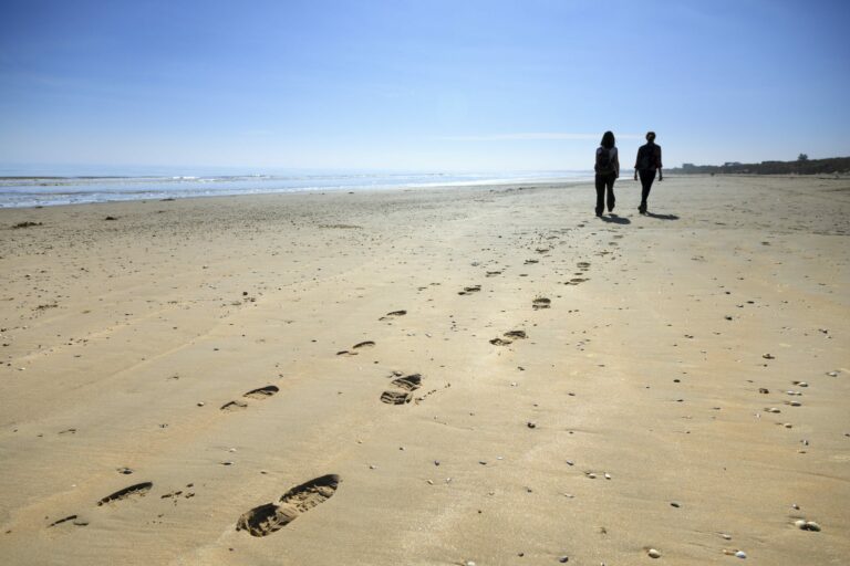
Kingsdown Beach
4th March 2015
You'll find all you need for an afternoon on the beach at Kingsdown, a secluded half sand, half shingle beach with plenty of rock pools…
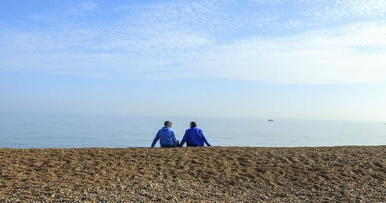
St Mary’s Bay
4th March 2015
If it's a sandy beach you're looking for, then St Mary's might just be it. During the summer the beach attracts thousands of sand castle…
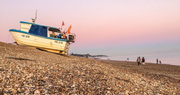
Hythe Beach
4th March 2015
Hythe is surrounded by countryside and edged by the sea, so what more could you want from an afternoon trip to the coast?
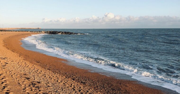
Folkestone Beach
4th March 2015
This fantastic family bay is a great place to go swimming, visit the mermaid café, and play in the adventure playground in the Lower Leas…
Sunny Sands
4th March 2015
Grab your bucket and spade and head down to Sunny Sands, the only sandy beach in miles. In fact, the sand is so good here…
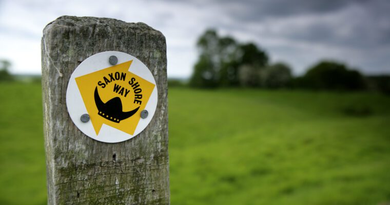
Saxon Shore Way
20th February 2015
Imagine stepping back in time and discovering the coastline of the Garden of England as it stood more than 1,600 years ago. The 160 mile…
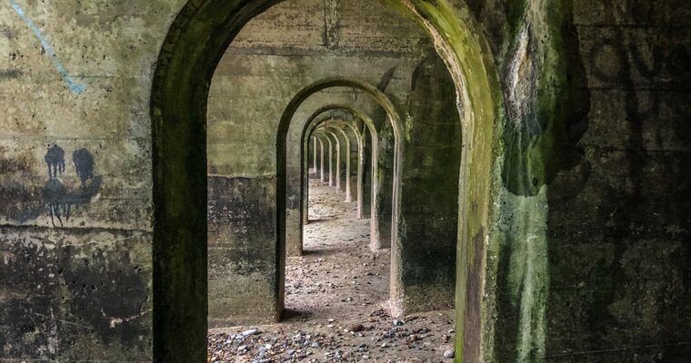
Samphire Hoe Stile Free Trail
17th February 2015
Enjoy magnificent views along this coastal walk through the newest part of Kent. Samphire Hoe has been created from the spoil excavated during the construction…
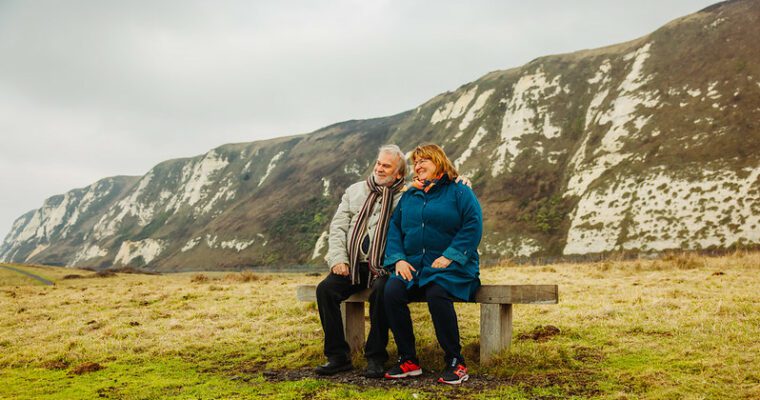
St Margarets Bay walk – guarding the gateway
17th February 2015
This 4.7 mile King Charles III England Coastal Path circular walk, much of it along quiet roads where the going is very easy, is dotted…
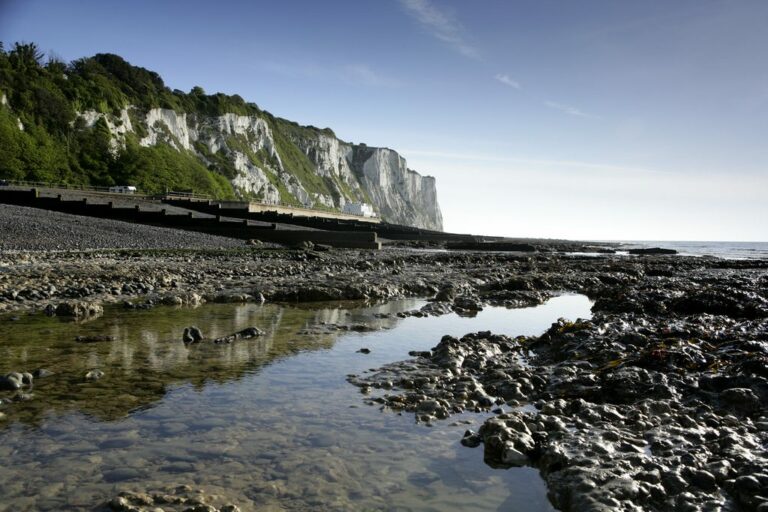
Creteway Down
17th February 2015
A great place to explore, Creteway Down offers dramatic views across Folkestone and the Channel. The steep downland also provides a habitat for a large…
1
2
You're on page
3
Back to top