Samphire Hoe Stile Free Trail
Our stile free routes are suitable for a wide range of users including those in mobility scooters and families with younger children.
At Explore Kent, we aim to provide detailed information about our routes to give you a clear idea of what to expect. Please be mindful that our stile free routes are located in the countryside and the path surfaces can be adversely affected by poor weather conditions. Certain routes may be better suited for wheelchairs with wider wheels, as they can handle the terrain more easily compared to other wheelchairs. We encourage you to read about the trails, and to assess them if you feel confident in completing them yourself.
If you would like more information on accessibility, please email explorekent@kent.gov.uk
Route information:
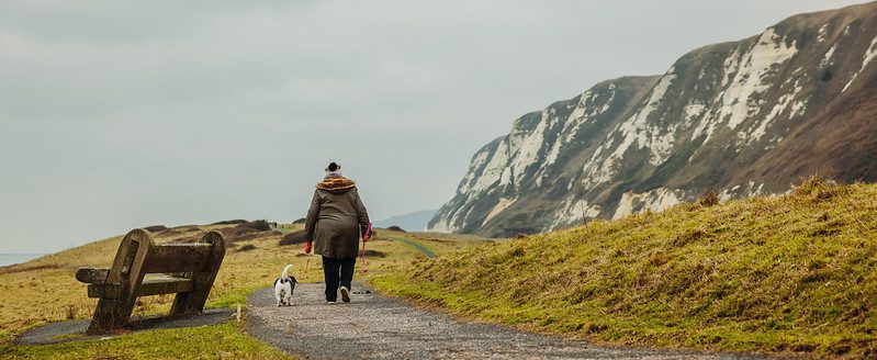
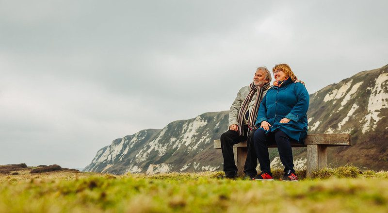
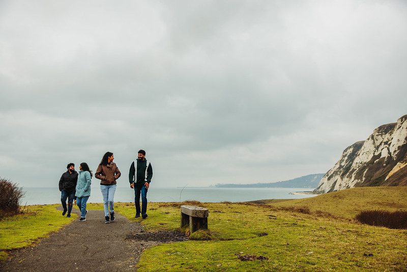
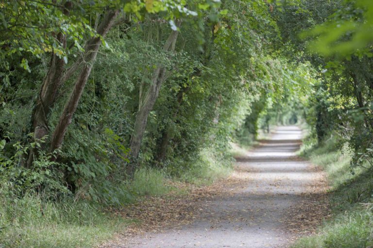
A flat walk of 1.2 miles (1.9km). The paths are a mixture of tarmac and a hard coarse surface. There are frequent rest areas along the route. A radar key may be required for wide access through the kissing gates. The section through the Hoe is tarmac; the sea wall is smooth concrete with two ramps giving access to and from the middle terrace providing good sea views. The average gradient is 1:15 with some steeper sections and occasional cross slopes maximum 1:25.
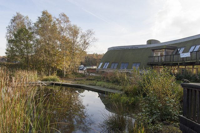
The Samphire Hoe picnic site has been sympathetically landscaped and is already well established.
The park is a mass of wildflowers throughout spring and summer. Visitors in April and May can seek out the early spider orchids. Samphire Hoe has also become a key site for ground-nesting meadow pipits and skylarks.
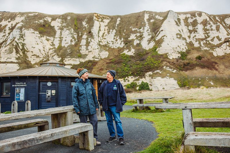
Look east towards Dover for a good view of the dramatic outline of Shakespeare Cliff. It is this cliff which is thought to have inspired a pass in William Shakespeare’s tragedy, ‘King Lear’ – “there is a cliff, whose high and bending head looks fearfully in the confined deep…”
The walk has two distinct one-mile (1.6km) sections. One follows the sea wall along smooth concrete, while the other passes through the middle of Hoe with good paths and some steep gradients. There are a number of resting points along this section.
When the sea is rough, waves can come curling over the sea wall. When it is too stormy, the sea wall may be closed to the public temporarily.
Step by step guide
Start from the car park, take the path signposted “West Shore via the Hoe”, passing through a chicane.
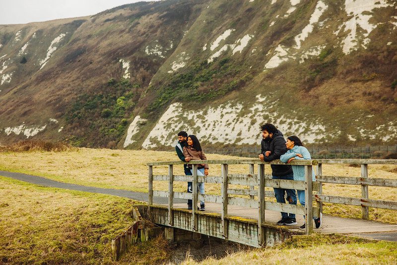
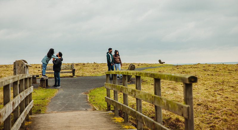
Cross the bridge and climb the slope. Continue on this path, which can be steep in places, for another 800m until you descend to the sea wall.
Turn left here and follow the sea wall, To get a better view of the sea, you can access a higher terrace on the sea wall via the ramp until another ramp allows you to descend back to the lower level,
Turn left and follow the ramp which zigzags back up to the car park. Samphire Hoe is owned by Eurotunnel and managed in partnership with White Cliffs Countryside Project

