The DVLPS area stretches between Dartford in the north to Sevenoaks in the south and west to Westerham on the Surrey border.
Train
There are nine train stations in the scheme area – Dartford, Farningham Road, Eynsford, Shoreham, Otford, Bat & Ball, Kemsing, Dunton Green and Sevenoaks – with Swanley station nearby. The Darent Valley can be easily reached by regular trains to and from Kent, various London stations and further afield. For train times, ticket prices and to plan your visit, go to www.southeasternrailway.co.uk or www.nationalrail.co.uk. Also you can find more information about the stations on the Swanley – Sevenoaks line and how to visit by train on the Darent Valley Community Rail Partnership website.
Bus
There are various bus routes that serve towns and villages within the DVLPS area. For up-to-date information and to plan your visit by bus, visit the Go Coach website (covering the Sevenoaks area) or Arriva Bus (covering Dartford).
Road
The A225 runs north – south between Dartford and Sevenoaks along with the A25 running east – west at the southern end of the DVLPS area passing between Kemsing and Westerham. The M25, M26 and M20 fall within the DVLPS area there are three junctions within the boundary area.
Traveline provides routes and times for all travel in Great Britain by bus, rail, coach and ferry. Kent Connected offers a journey planner for travel within Kent.
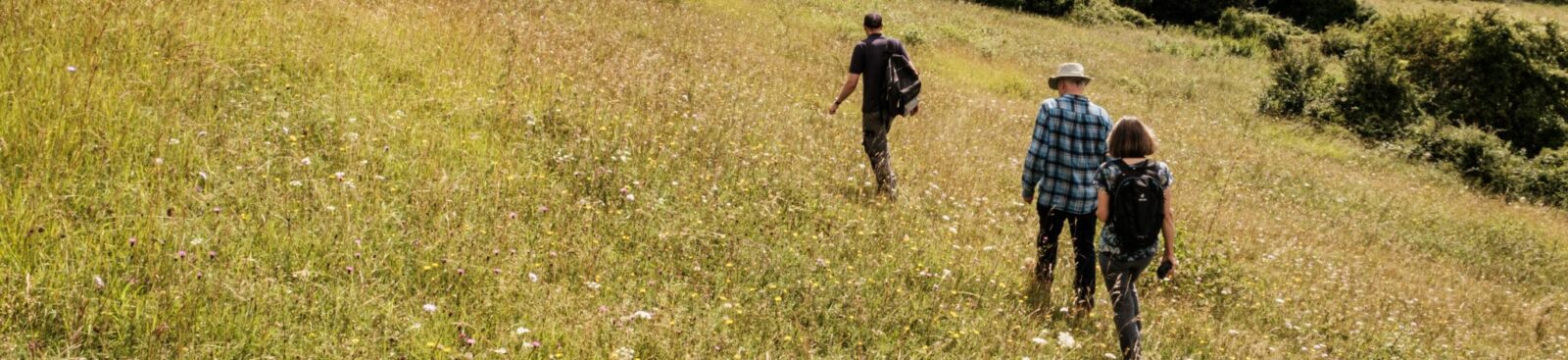
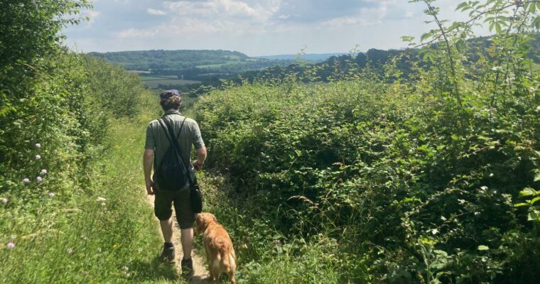
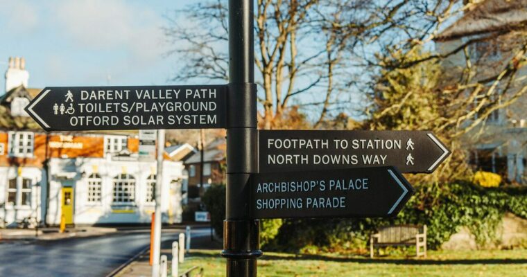
Visit our self-guided trails above for ideas on how you can explore the area further once you have arrived.