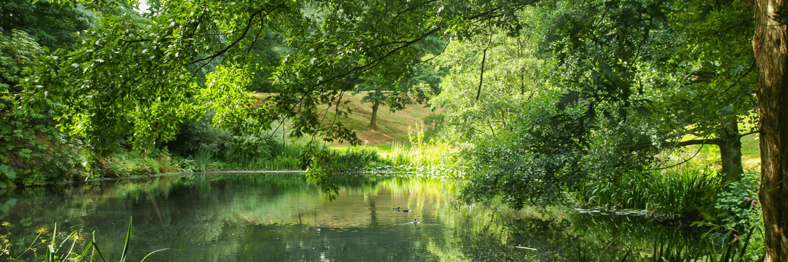
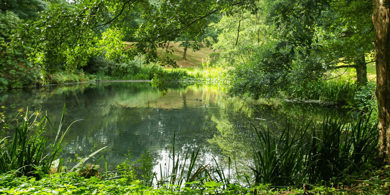
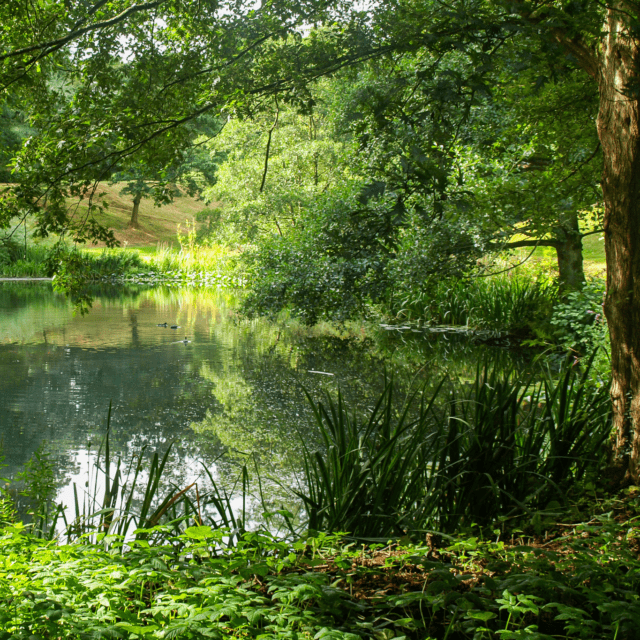
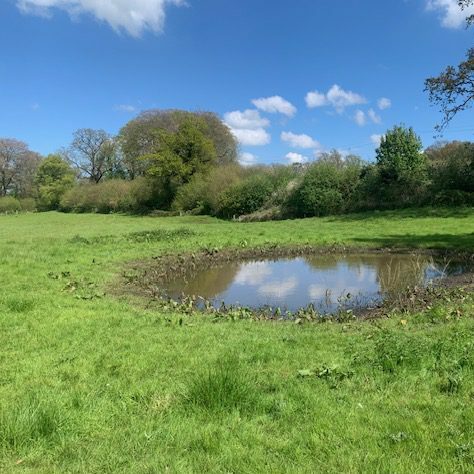
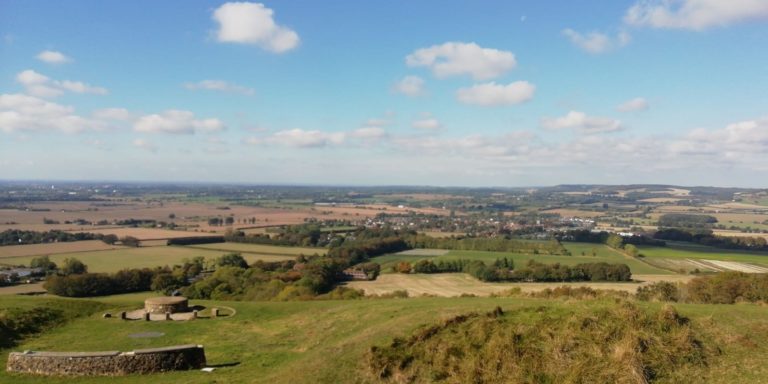
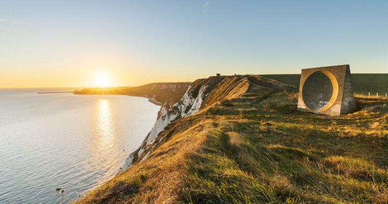
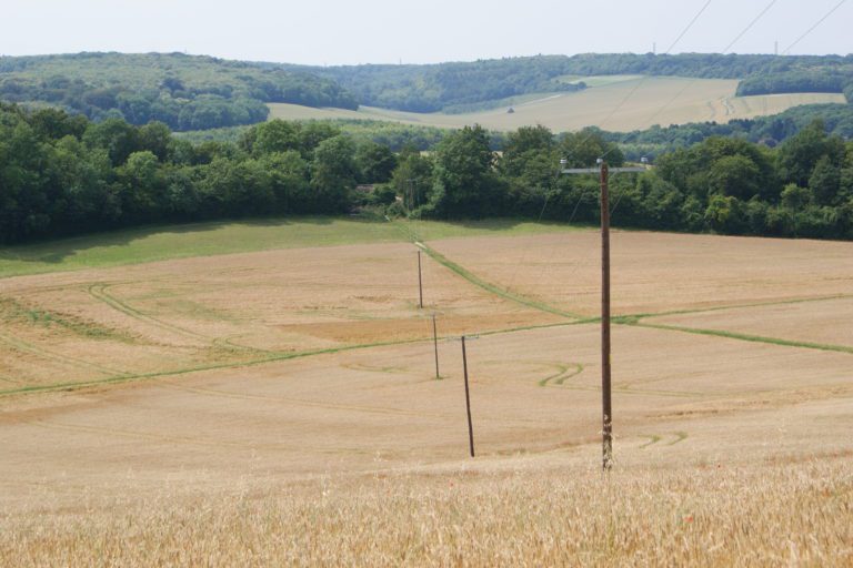
This ambitious project has mapped over 1600 historic ponds in the Kent Downs National Landscape.

About the project
In 2024 and early 2025, the Kent Downs Heritage Ponds project worked with volunteers from across the many parishes of the Kent Downs to map historic ponds, including dew ponds and ‘soles’ that were once common features of the landscape.
Using historic Ordnance Survey maps alongside high-resolution LiDAR data from the Kent LiDAR Portal, we have been able to identify former pond sites that are now hidden beneath fields and vegetation. By comparing past and present landscape data, we’ve uncovered water features that had long disappeared from view.
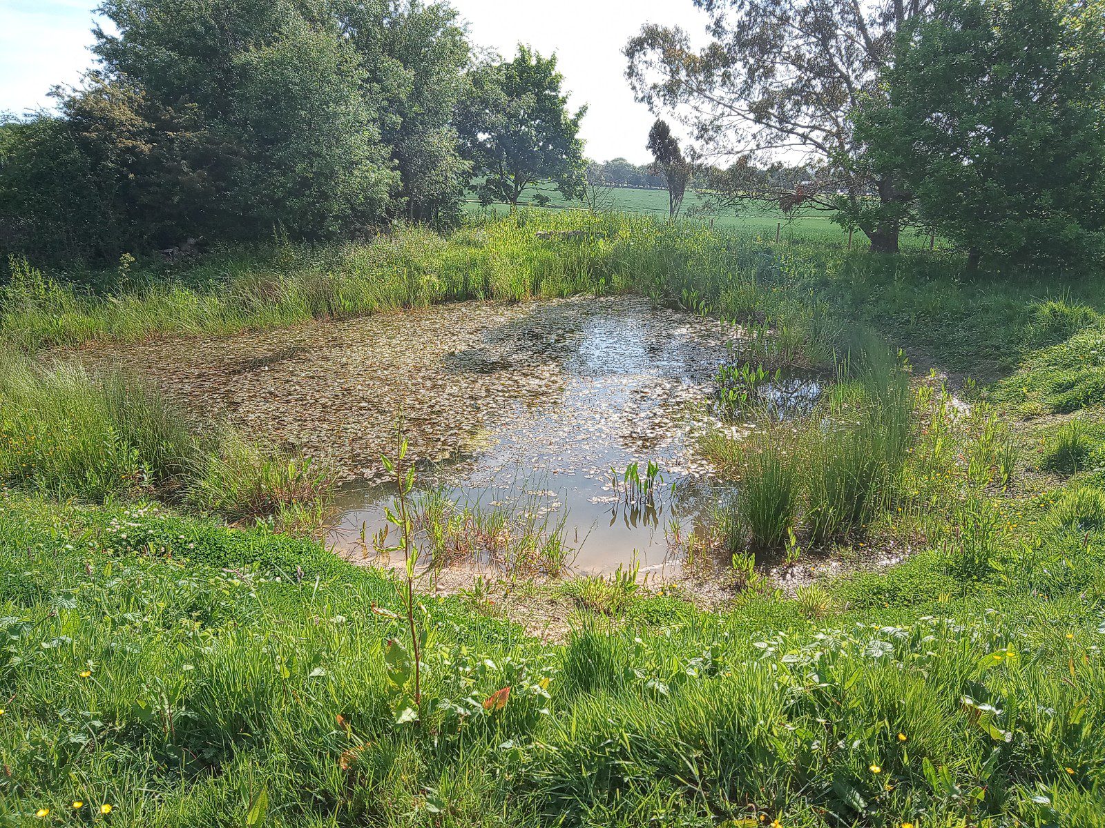
We’ve now mapped over 1,600 ponds – and there are still more to be recorded. Many farmsteads once had six to eight ponds close to the farmyard alone. This water had many practical uses day to day, from washing horses and carts to providing water for domestic tasks and livestock.
As a further stage of this work, in 2025 we began exploring the archaeological interest of a selection of 24 of these historic ponds. Partners including Wessex Archaeology, Archaeology South-East and Canterbury Archaeological Trust have carried out auger surveys, taken silt samples and provided detailed palaeobotanical analysis from preserved plant remains.
This research will help us understand which ponds are most suitable for restoration and how this should be approached.
Our mapped ponds are spread right across the Kent Downs — so there may well be one near you.
Why restoring old ponds is so important for the Kent Downs landscape

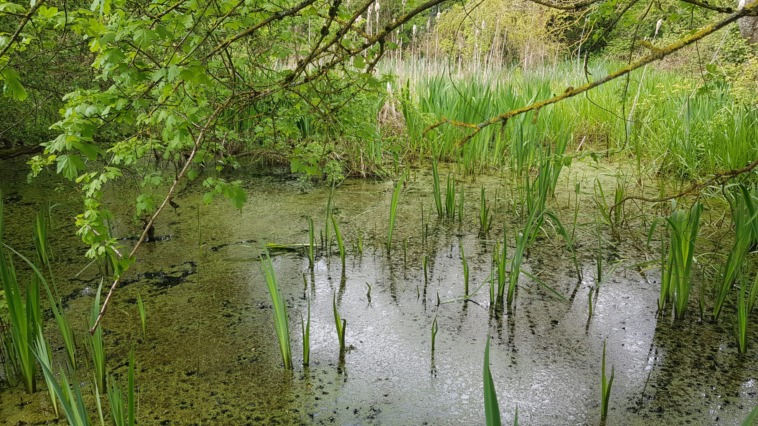
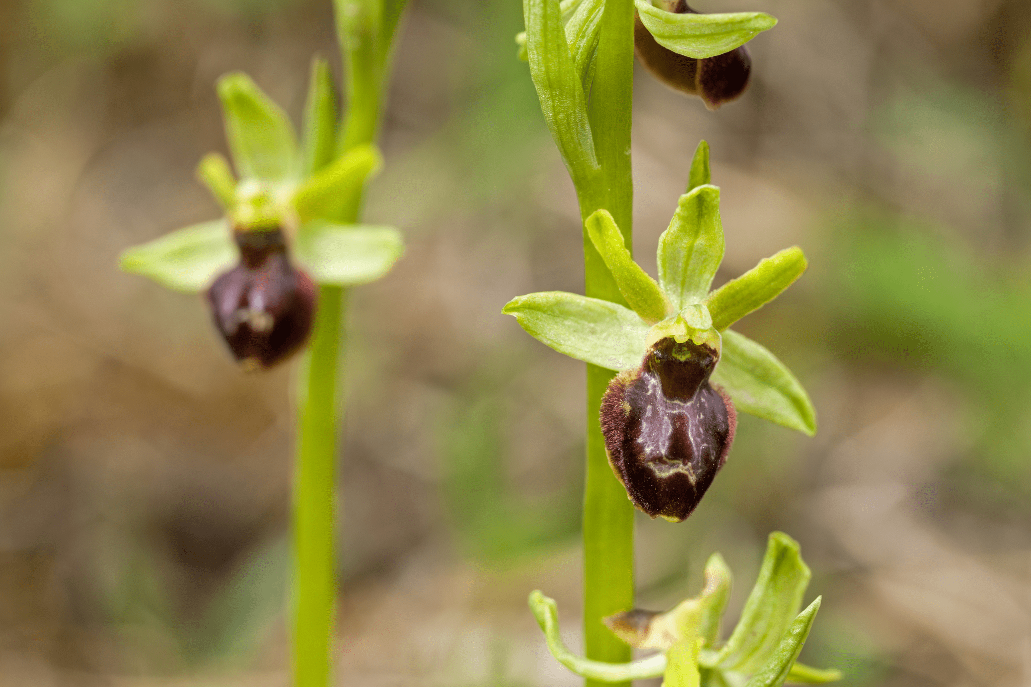
Ponds of the Kent Downs may originally have been naturally occurring, part of village infrastructure (eg mill ponds), been formed after diggings for minerals, or dug on farmland for the purposes of watering livestock.
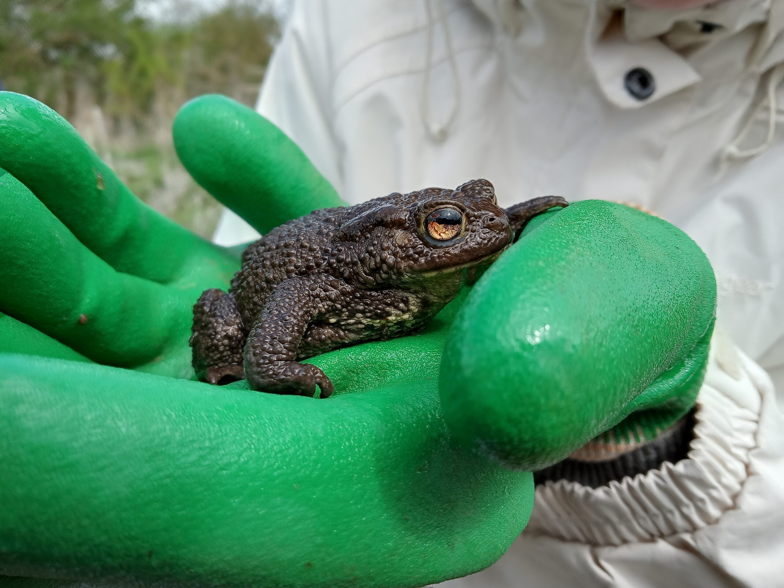
Nationally, around 75% of ponds have been lost in the last 100 years due to the huge increase in mechanised arable agriculture and modern means of providing water for livestock. At the same time, wildlife must now contend with more extreme weather and increasingly hot, dry summers driven by climate change. In an already dry, chalky-landscape, this calls for action, not only for the sake of water-dependent species, but for all wildlife which needs water to survive, and for the health of the overall ecosystem.
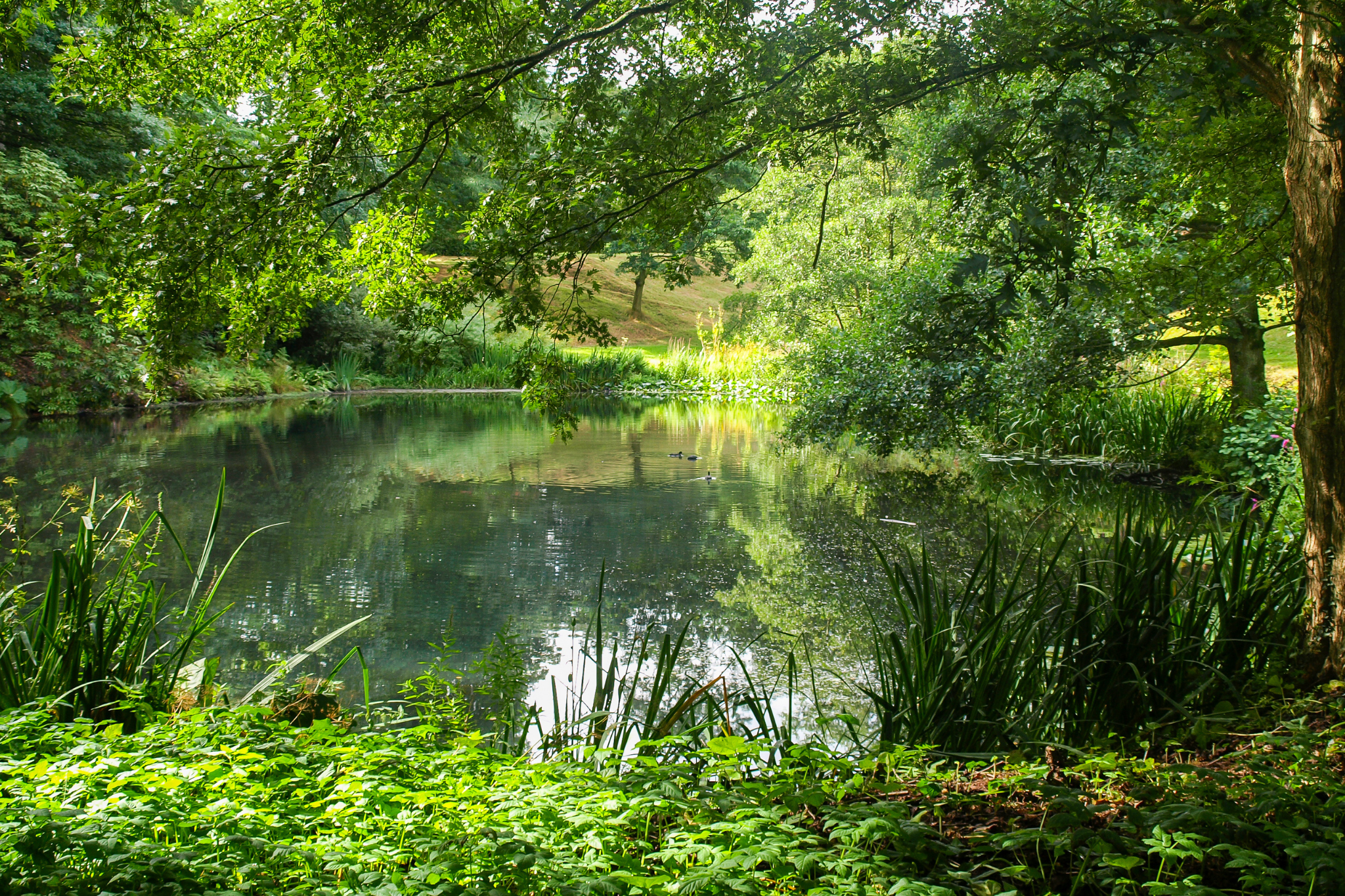
Another bonus of digging out old ‘ghost ponds’, rather than creating new ones, is that this not only restores a heritage feature in the landscape, it may enable lost wetland species to establish once more from the old seed bank – giving a full and healthy habitat in only a few years! Check out the fascinating work that the Norfolk Ghost Ponds project has been doing on this: Restoring, resurrecting and conserving Norfolk’s ponds.
Did you know: Certain species, such as the protected Turtle Dove, require proximity to water for successful breeding?
Did you know – Fresh water is hugely important for support of a healthy volume of insect life – which then provides food for other wildlife, as well as pollinators for our crops.


Next steps
As archaeological investigations continue, we are developing funding bids for a programme of pond restorations alongside community engagement activities such as community archaeology and wildlife survey training.
The next stage will also involve ground-truthing a selection of mapped ponds. Working with partners and local landowners, we will verify sites identified through historic mapping and LiDAR data and assess their restoration potential.
If you would like to explore the mapping yourself, you can register with the Kent LiDAR Portal and search for ponds in your area.
There may still be ponds to find, so if you’d like to be involved, please email: heritageponds@kentdowns.org.uk
Please note: if you do go to look for ponds in your area, please make sure to stick to public rights of way, and do not approach open water unless you’re sure it is safe.
The Kent Downs Heritage Ponds project is funded through Defra’s Farming In Protected Landscapes programme and The National Lottery Heritage Fund. Thank you to National Lottery players for making this project possible. The Farming in Protected Landscapes fund helps farmers, land managers and others to deliver projects in the farmed landscape under the themes of climate, nature, people and place.
![]()
![]()