This project brought together a team of volunteers who investigated the heritage of the Darent Valley landscape using LiDAR technology.
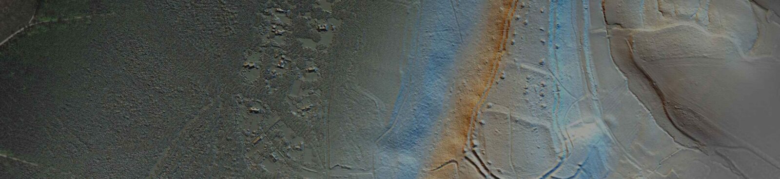
The Darent Valley is a complex and intricate landscape. For some time, it had been the aspiration of local groups to have detailed data to interrogate and explore it. A commissioned LiDAR (Light Detection and Ranging) survey gathered information to support a better understanding of the landscape and its layers of history.
The team underwent fieldwork training before exploring the landscape – looking for features and recording them through an online portal.
The information gathered formed an important dataset which supplemented the Historic Environment Record and enhanced our knowledge of the valley.