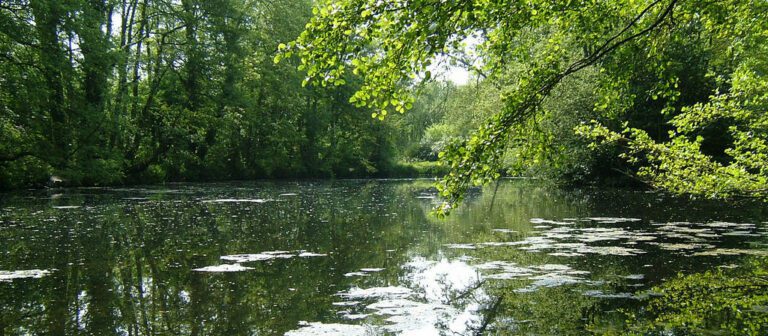
The route starts at the popular Brockhill Country Park, with its famous deer paddock, alder valley and lake, and follows part of the North Downs Way.
Leave the park to climb to the top of Tolsford Hill, an impressive natural feature that remains wild and unspoilt.
The land here is owned by the Ministry of Defence.
At 181 metres above sea level, Tolsford Hill is one of the highest hills of the Downs in east Kent.
A BT tower stands on the plateau at the summit of the hill. It is one of the few British telecommunications towers built of reinforced concrete. It is more than 70 metres high.
There are magnificent views from the hill, which has streams and rivers coursing around its base, including the Nailbourne and the East Stour.
As you pass through the chalk grassland look out for buzzard and skylark soaring high above the hills.
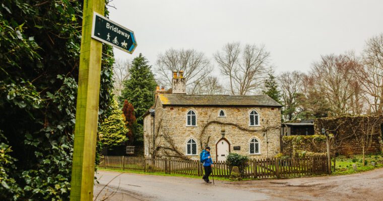
Follow the route through Peene and the beautiful village of Saltwood. Look out for its historic church and castle before returning to the country park.
Step by step guide
1. From the Visitor Centre, cross car park and turn left by a waymarker post to follow a grass path and leave the park by pedestrian exit (by transformer). Turn left onto pavement and after 100m just past the bend, cross road to follow Saxon Shore Way (SSW). Beware of traffic.
2. Cross a small bridge and continue uphill. On reaching a small clearing turn left to follow path and enter wood. Follow path through wood and bear right to follow a sunken footpath.
3. At the stile, with an orchard on your right, turn left to follow the SSW up a slight incline. Then at a junction with a track, turn left and follow to a junction with Hayne Barn on your left.
4. Beware of traffic. At the junction continue straight up the road and along the SSW. Cross 2 footbridges.
5. Beware of traffic. Cross over the main road, turn left, follow the verge and then turn right onto the byway. Continue on the byway, up the hill which becomes steeper at the top, passing through 3 gates. At the top continue ahead towards the radio tower. Don't forget to turn around and take in the wonderful views!
6. At the radio tower, turn right along the fence line. At the stile, do not cross the stile, turn right towards the double gates, do not pass through the gates, and then right again through the avenue of trees with the fence line on your left.
7. Pass through 4 gates and keep following the SSW, the North Downs Way (NDW) and the Elham Valley Way (EVW) through the woods and field edges. There are fantastic views to your right.
8. Beware of traffic. At the road, turn right and immediately left still following the SSW. After approx 100m, turn left up a short incline, cross the stile and continue down the hill towards the stile in the right hand corner of the field.
9. Cross the stile into the woods, cross the bridge follow the path ahead, past the railway bridge on your left. Cross a stile and continue ahead with the fence line on your left.
10. On reaching a gate on your left hand side, turn right into the field and head towards the stile in the fence line on your left. Cross this stile into the woods, follow the path to a small bridge and a gate in the fence line. Pass through the gate, continue along the right hand edge of the field and pass through another gate in corner of field.
11. Continue along right hand field edge until you reach a track on your right from the woods. Here turn left across the field towards the stile in the fence line. Do not cross the stile, but turn right in front of the stile and head towards the right hand corner of the field.
12. Cross the footbridge and the stile and continue straight ahead towards the telegraph pole and electricity lines. Cross the stile in the fence line, continue down the steps, turn right, pass through the gate and turn right along the lane.
13. Continue along the lane, past the houses and join the path up the hill towards the main road. At the top turn right onto a grass path. Continue along the path until you reach a gate in the fence on the left. Pass through the gate, cross the road and cross the stiles on the other side.
14. Continue to the right of the fence line, up hill towards stile. Cross two stiles and walk along the side of Summerhouse Hill. (Can you spot the elephant?) This is Ministry of Defence land – Beware of troops training, and do not touch suspicious objects.
15. Continue around Summerhouse Hill and as the path bears right, take the left fork towards the stile in the fence line. Cross 2 stiles and head towards the middle of the fence line of the woods and the stile on the left. On reaching the stile at the edge of the woods, do not cross the stile, turn left down the hill with the woods on your right towards another stile in the corner of the field.
16. Cross the stile and keep to the fence line on the right. At the corner point of the wood continue ahead through the middle of the field towards the woods ahead. Continue along the fence line with the woods on your right hand side.
17. Pass through a gate in the fence and follow the fence line on your left. Turn left, still following the fence line and head towards the house and the road.
18. Beware of traffic. Pass through the gate by the house, take care crossing the road and then retrace your steps back towards Brockhill Country Park.


