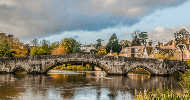
Snodland Walk
From the busy streets of the town this walk will lead you into a relief of open fields which stretch out to the west of Snodland.
After some steep climbs you’ll be rewarded with panoramic views of Snodland and the valley below.
The routes passes through wooded areas made up of rare beech-yew woodland, which thrives in the Medway Gap along the Downs due to the chalk below. The woodland soon opens out to become an area that was once 18th century parkland where deer and other animals would have grazed.
Step by step guide
Come out of Snodland train station and turn right onto Mill Street. Follow the road over the main road then take the footpath on your right. Follow this and at the end turn left onto the High Street and follow this into Snodland.
At the crossroads with Malling Road turn left and follow the road for about 500 metres. After passing St Katherine's Lane on your right just before you get to Christ Church on the left hand side, turn right along a footpath just before Holmesdale Technology College. Follow this along the length of the college and turn left at the end into Tom Joyce Close and almost immediately, turn right into Hollow Lane.
At the end of this road, turn left into Snodland Road (signposted towards Birling). You will now leave the built up area of Snodland. Take extra care here as there is no pavement along this stretch. Towards the end of the first field after 100 metres turn right up a set of steps and then left along a public footpath. (If you get to Sandy Lane on your left you have missed the footpath).
Follow the footpath along the field boundary until the hedge line opens. Turn left here keeping the hedgerow to your left just after going under the power lines. At the end of this footpath turn right and head north towards Paddlesworth Farm keeping a large oak tree on your right.
When you reach Paddlesworth Road go over the stile turn right and then immediately left along the footpath that runs alongside the group of buildings and up the hill towards the North Downs. Take care here as you will be on a road with no pavement for 50 metres. At the end of the footpath go through the gate and turn right. You are now on the North Downs Way. You will soon come to a crossroads of paths where you need to carry on straight ahead passing Crookhorn Bungalow on your left. Alternatively you can return to Snodland here by turning right and following Whitedyke Road all the way back to Snodland, passing both the cemetery and Community Centre.
Continue along the byway (which becomes a surfaced path) until you reach a junction with a road with a house on the left hand side – Ladd's Farm. Turn left along a path that runs alongside this farmhouse and follow it up the steep hill into the wooded area.
Once the gradient has levelled off, you will reach a split in the footpath where woodland continues on your left with an open field on your right. Take the left hand fork and follow this path all the way through Hanginghill Wood until it eventually emerges into the open again.
Cross over the open field still continuing uphill. After you reach a line of trees, take the path left heading downhill into a wooded valley. Take care at this point as the path heads downhill very steeply
At the bottom of the valley turn left and then immediately right and follow this footpath through the woodland (Crookhorn Wood) back to the crossroads with Crookhorn Bungalow on your left.
At the crossroads go straight on following this path (Whitedyke Road) all the way back to Snodland keeping the disused quarry on your left all the way.
As you enter back into Snodland, you will pass the cemetery on your right. Follow Cemetery Road down to the junction with the main road and turn left into Constitution Hill. Follow this road back into Snodland.
You will reach a crossroads with the Bull public house on your left. Follow the road straight ahead (High Street) to the end then take the path on your right. Turn left over the main road below then follow the road to the left back to Snodland train station.

